The Map
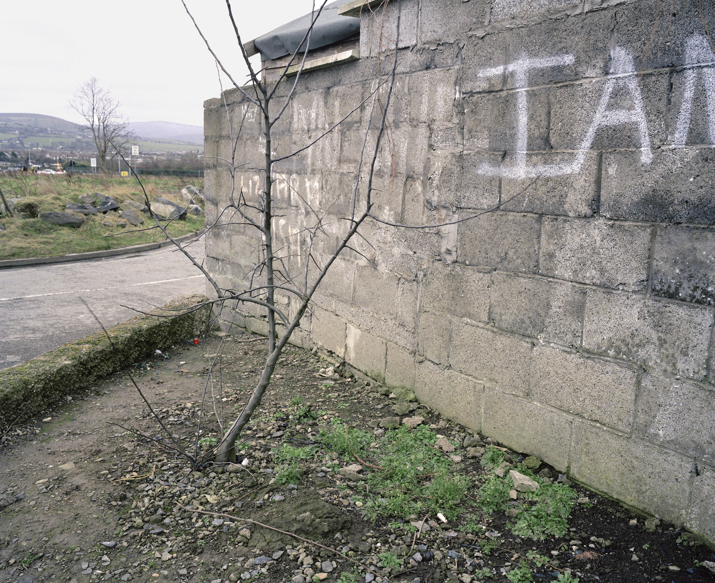
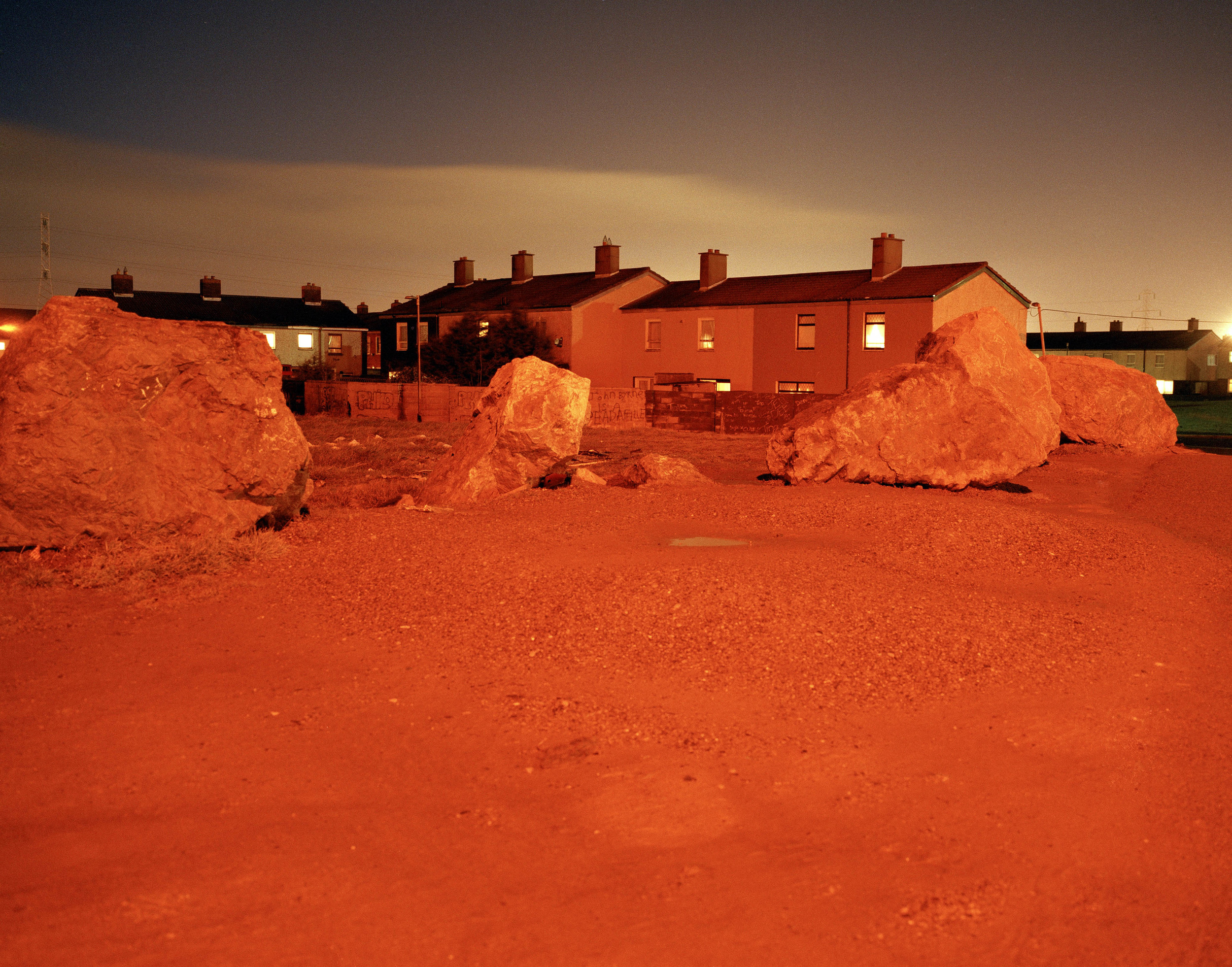
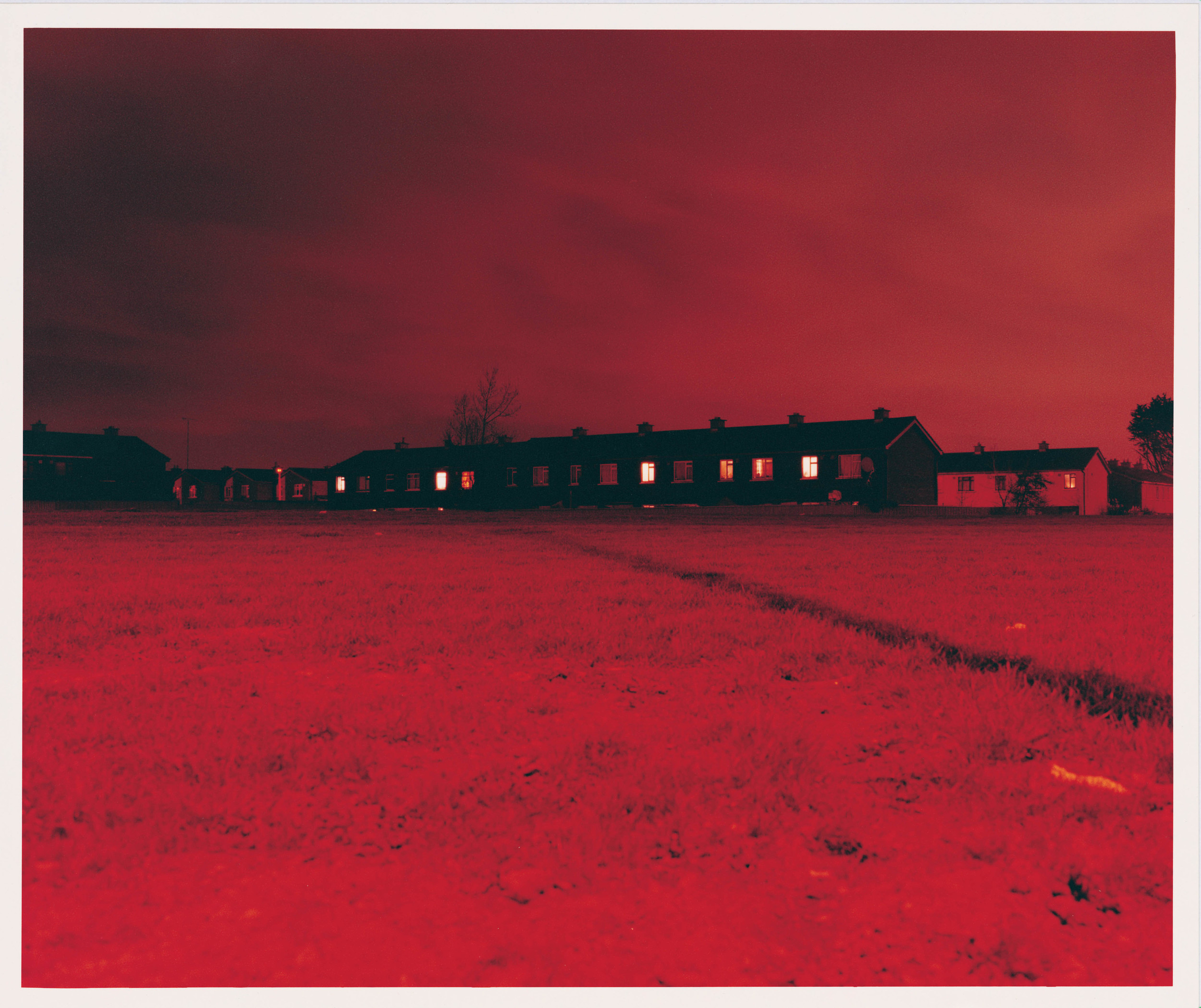
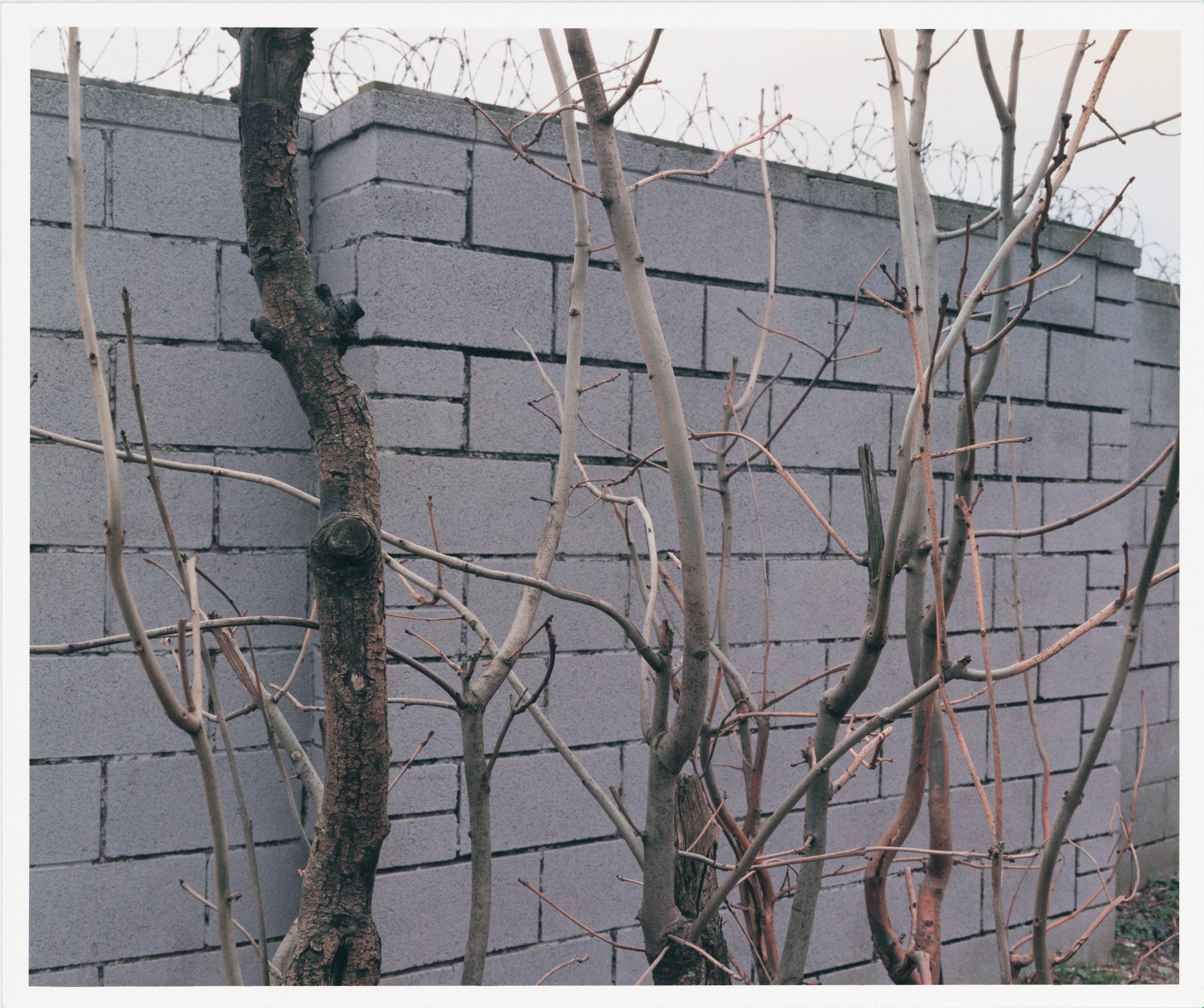
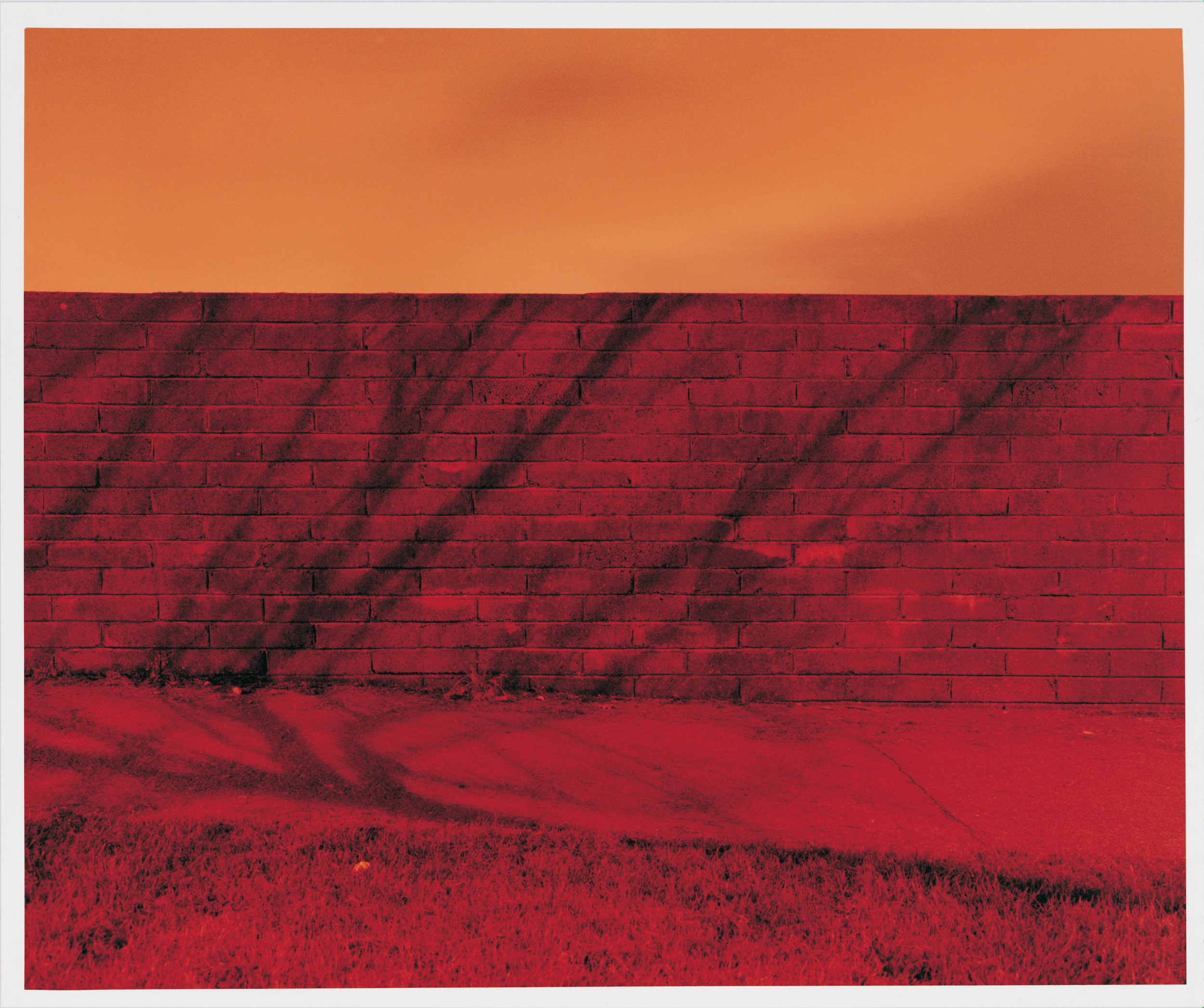
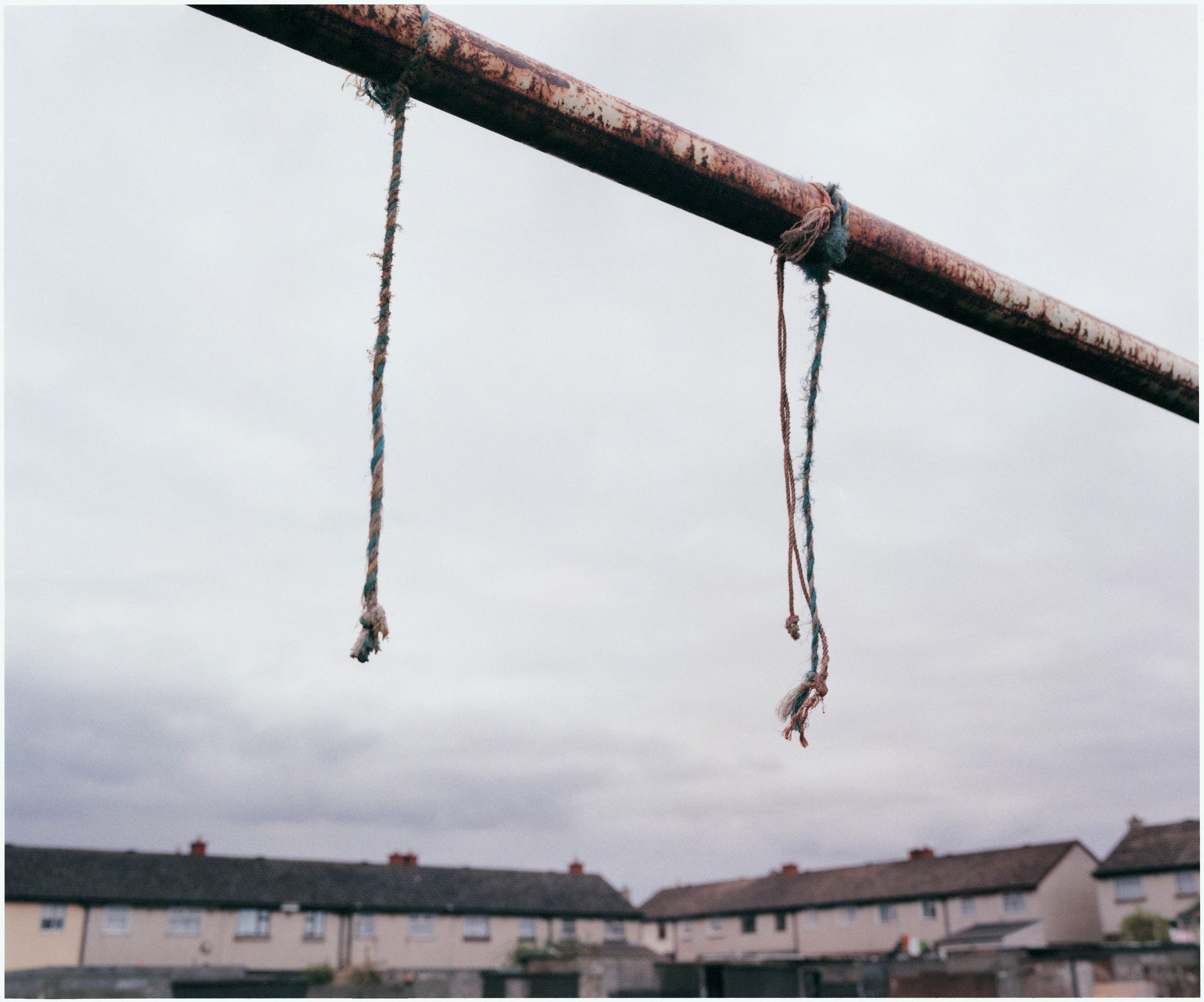
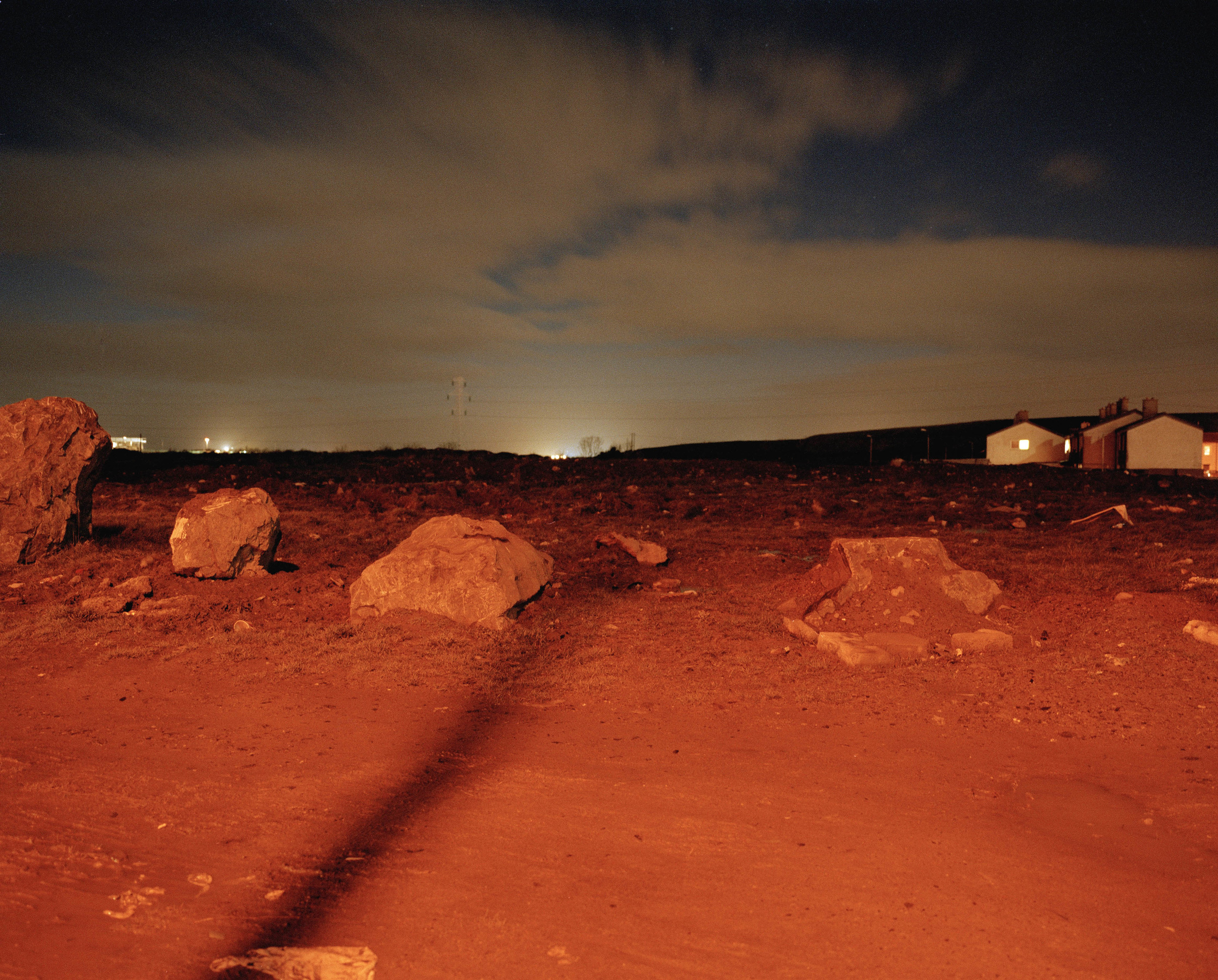
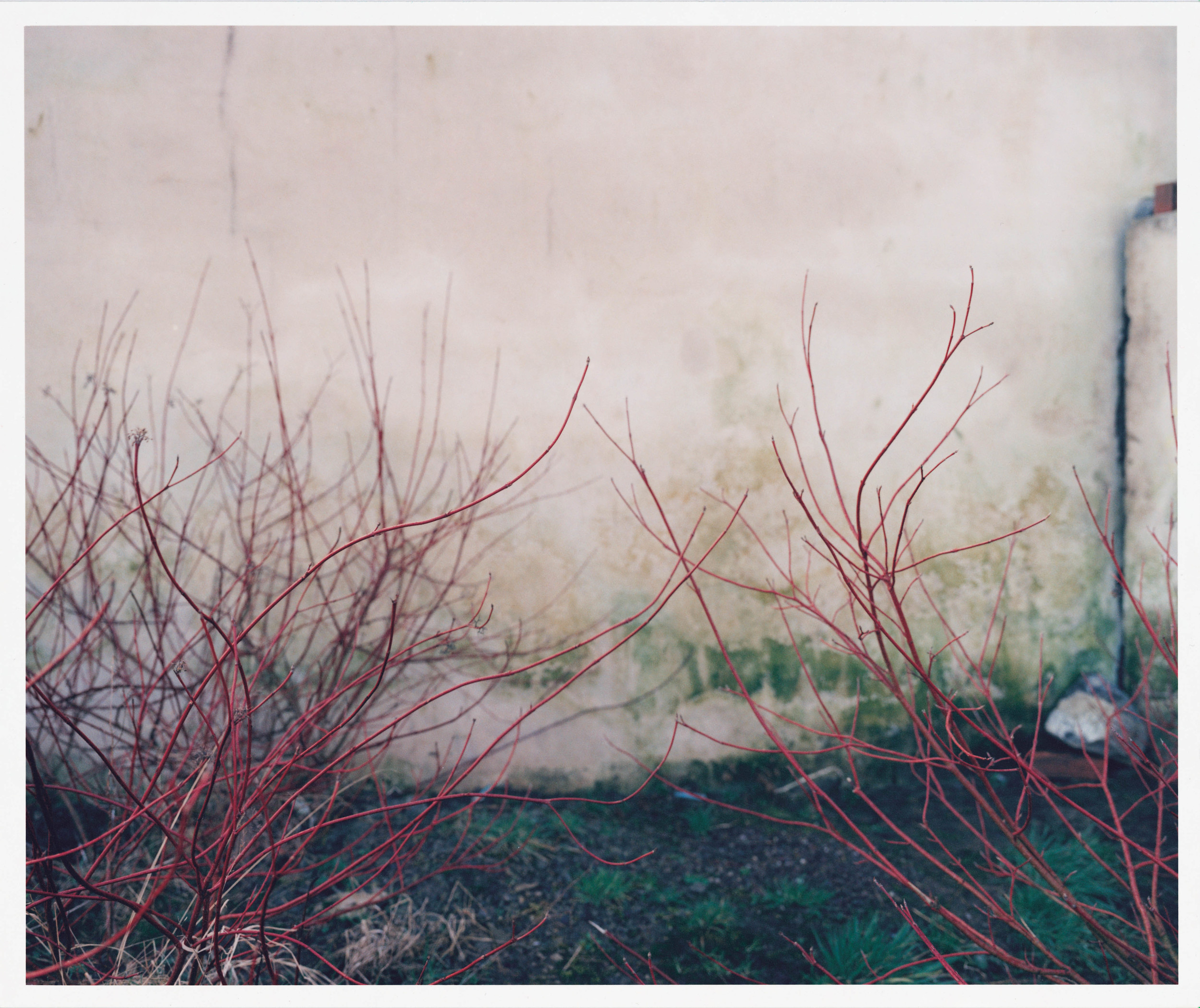
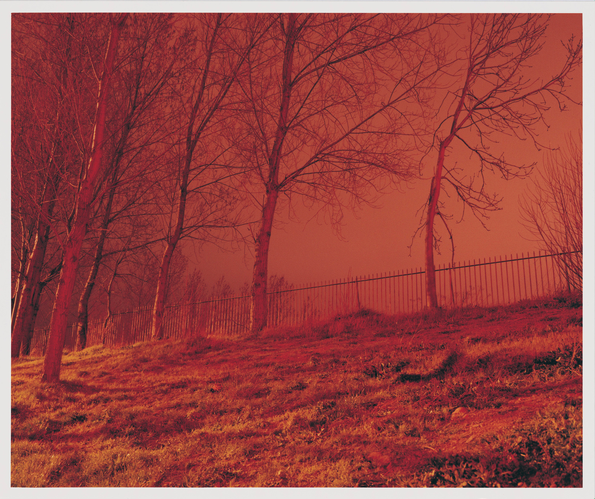
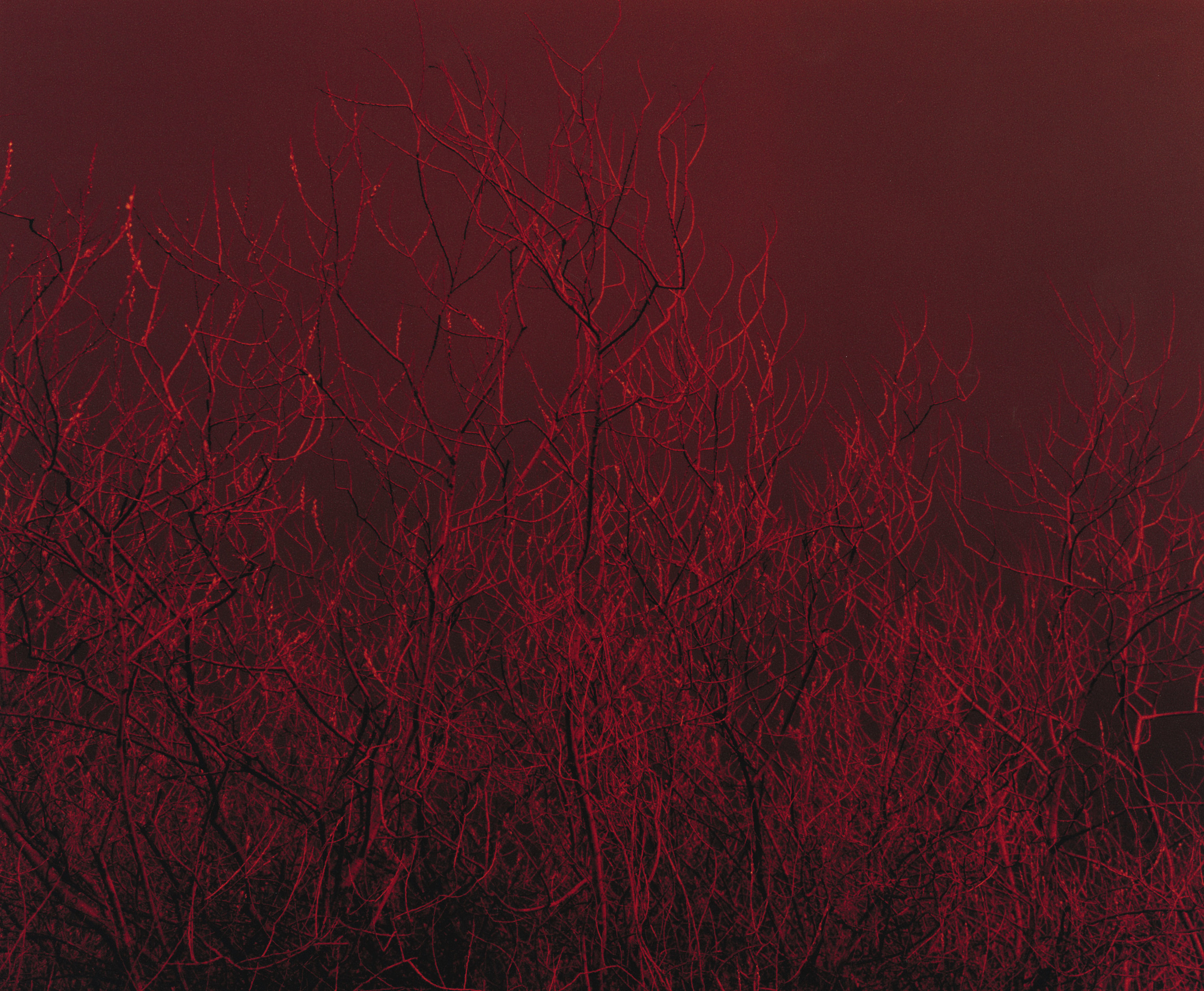
Tallaght sprawls out through the flat fields beneath the Dublin mountains and doesn't immediately present itself as one of Europe's largest public housing developments. Created in late 60's as a 'new town' it is characterised by the same problems associated with poorly planned fringe areas of many European cities, during the 1970s and 1980s becoming synonymous with suburban mismanagement. It is defined at its borders by farmland, hills, new roads and technology parks, a unique urban space sited in almost rural context. This is a hybrid environment, neither country or city, a place where nature and culture collide. These works map that axis, mining the complex psychology of social space. They move between urban and rural, inhabited and uninhabited landscapes, between day and night. Looking out from the streets and the fields that frame them, the terrain shifts and changes. Freshly planted tress separate houses and roads, walls and fences determine the limits of inhabited territory, woodland meets boundary wall and nature presses at the confines of urban presence. The artificial glow of phosphorescent street light illuminates the night sky and seeps across the dark fields and lanes that lie beyond the edge of the map.
Commissioned by South Dublin County Council in 2001 for the Percent for Art Scheme. Publication distributed to 44,000 homes in the housing development. Exhibited Douglas Hyde Gallery Dublin.